The Destination Maps provides a new way for software to understand internal structures of buildings, including various combinations of stairs and escalators, and different floor levels known as Z-levels. Along with this they are providing meta data on events and promotions for each location. As said in their press release:
NAVTEQ Destination Maps moves the industry beyond the interactive floor plan maps available today and into a three-dimensional data model essential to a more advanced exploration and guidance experience. It does this by providing pedestrian-specific attributes unique to interior requirements like stairs and elevators as well as recognizing different floor levels (called Z-levels) that are essential for applications to "understand" movement between floors once inside a venue and generate routes and guidance. NAVTEQ Destination Maps also include a Virtual Connections feature that enables more intuitive guidance by recognizing how pedestrians "cut across" open areas.
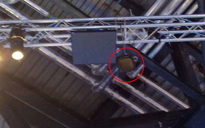
In order to make use of such data an internal positioning system is required (GPS does not work inside); there a re a number of options, one of these was previewed during Nokia World 2010, for which each transmitter was said to cover an area of 200m2.

An internal location transmitter at Nokia World 2010
“Fabio told me that they would expect mapping software (e.g. Ovi Maps) would intelligently switch modes; there would be no requirement for users to switch applications or manually change modes. In this case, there was a technological question of how to handle the transition and the handover from outdoor positioning systems to the indoor system.”
“NAVTEQ Destination Maps moves the industry beyond the interactive floor plan maps available today and into a three-dimensional data model essential to a more advanced exploration and guidance experience. It does this by providing pedestrian-specific attributes unique to interior requirements like stairs and elevators as well as recognizing different floor levels (called Z-levels) that are essential for applications to "understand" movement between floors once inside a venue and generate routes and guidance. NAVTEQ Destination Maps also include a Virtual Connections feature that enables more intuitive guidance by recognizing how pedestrians "cut across" open areas.The product even includes access restrictions to avoid being guided to an "emergency exit" as well as precise locations of important points like the nearest public bathroom. Additional POI detail such as meta-tag data enables search to be associated not just with a POI (e.g., a department store) but with specific sub-information (e.g., perfume) within those categories.”
