StreetView data has been filmed for many other countries, in part, but it seems that the switch has only been 'thrown' so far for the countries listed above, for which coverage is pretty good in most cities. Interestingly, coverage is now so dense in places that the 'yellow man' icon doesn't appear on maps - it would overwhelm them - instead you have to pick a spot and choose 'StreetView' from the menu. Or go for a route and press '8' to view it in StreetView mode.
Kind of fun to follow a photorealistic route from one city in the USA to another - quite a few of the highway junctions are included!
Some screens from the new version:
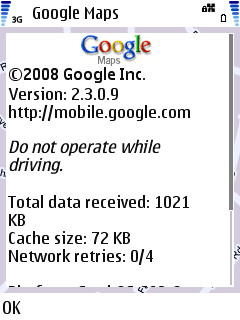
v2.3 up and running...

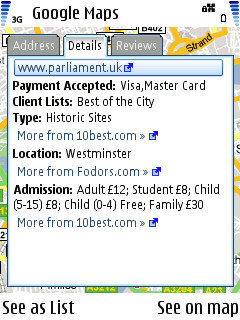
User reviews and attraction details. A lot of this was in v2.2, but not all.
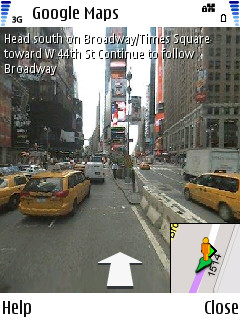
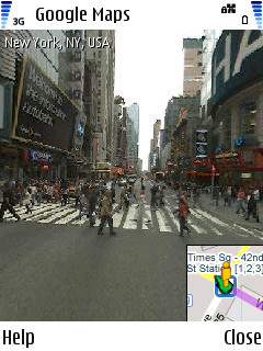
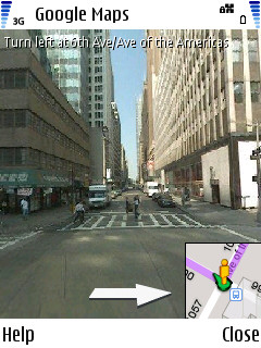
Following a New York route in Street View...
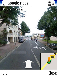
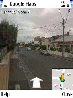
And some Street View screenshots from France and Australia. Note that the right screenshot has its left side shown at low resolution - this is because I was in a hurry to take the screen, but it also shows how Street View arrives, i.e. as a low resolution quick image, followed by a higher resolution version - kind of the same way Google Maps Satellite view in 2D works.
Wot, no UK?
The full changelog from v2.2 to v2.3 is:
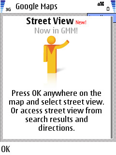
- Street View, for selected countries
- Walking directions (in addition to driving and public transit) tab, to get anywhere on foot
- Receive transit alerts from participating public transportation authorities
- See what other people think of a place by reading user reviews
- Overhauled user interface to make the app more responsive and easier to use
Steve Litchfield