The best way to show what Track@Way (also called Trackaway in some places for obvious typographical reasons) can do is to screenshot it in action:
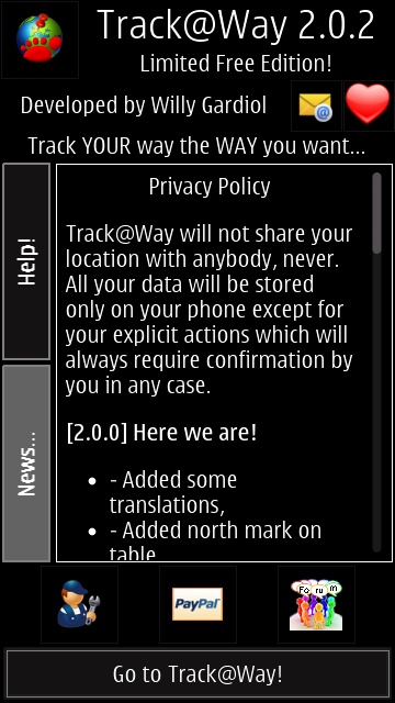
An impressive start with latest news of the application and a detailed set of help screens...
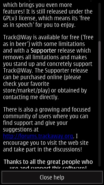
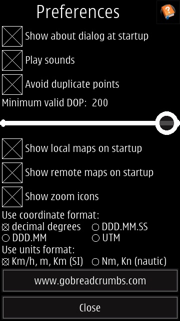
The exact license is a little confusing - 'free as in beer', for example. Round here, beer isn't free!
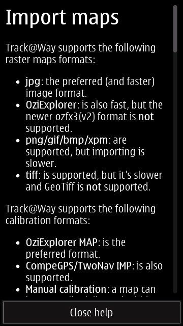
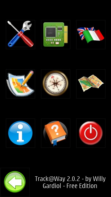
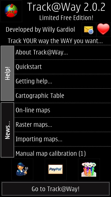
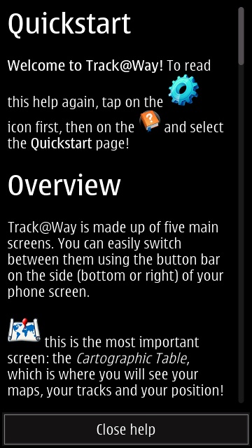
Plenty to guide new users in the extensive Help screens then; right, the main menu is 100% graphical (I always like to see text memory joggers under icons), but very pretty and all very AMOLED-friendly.
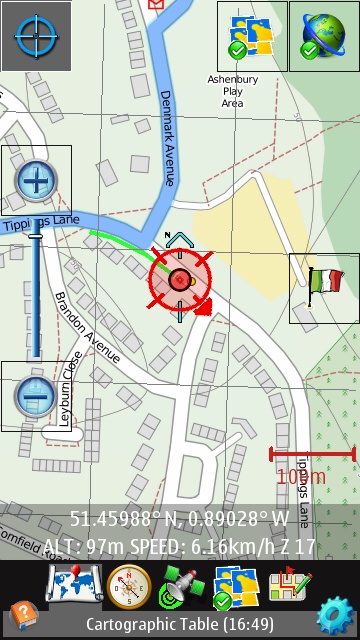
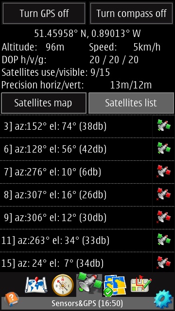
Diving into the main Track@Way functionality then, there's a multi-touch aware map (with zoom icons for convenience), with data drawn from OpenStreetMap by default and admirable detail. The icon top-right recentres the map on your current GPS position, should you have panned the map for any reason. The graphical toolbar switches between the core five displays in Track@Way, most of which are shown on this page. Right, in particular, I was very impressed by the terrific detail in the GPS screen. Exact azimuth, elevation and strength data!
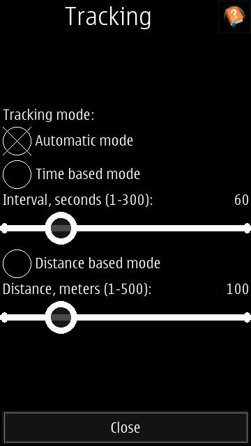
There's an impressive array of mapping and tracking options...
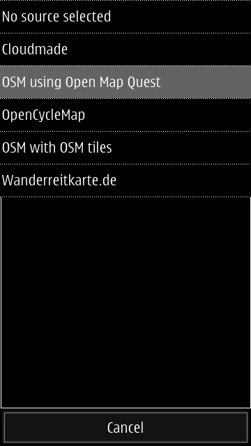
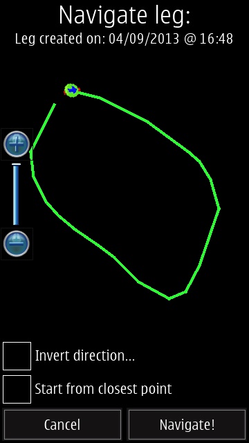
... with a choice of five map sources at present (though with some obvious overlap); (right) after completing a walk/hike, your track is available in several forms, not least the ability to navigate the same walk again at a later date. Trivial in this case in suburbia, but an exact record of a 10 mile hike in the hills might be very useful...
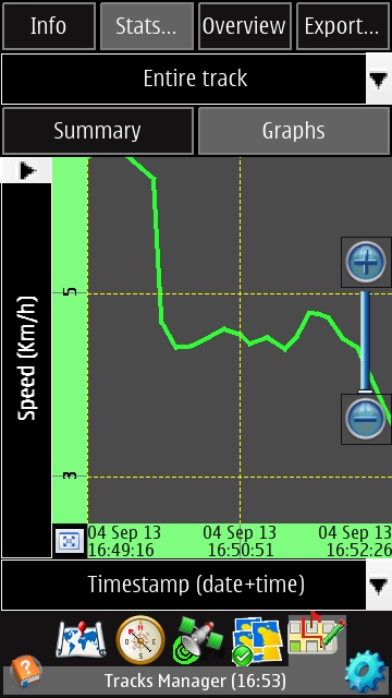
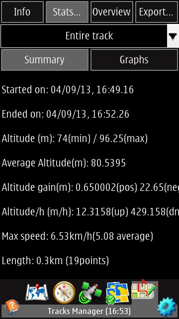
There are graphical (altitude and speed, each versus time or distance) and textual stats on your walk/hike...
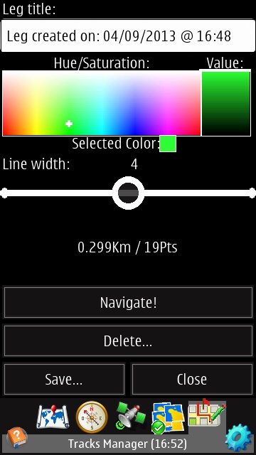
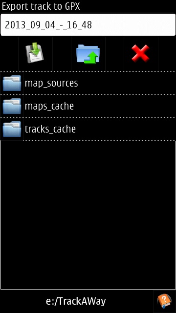
Track overlays on the main map can be in the colour and line thickness of your choice; (right) exporting my walk to a file in GPX format, for analysis or use elsewhere.
The developer, Willy Gardiol, claims to have started this project for his own use because existing solutions didn't quite fit the bill. Which is fine, though the slightly idiosyncratic interface and functionality do take a little getting used to for general users.
As seen in one of the screenshots above, Track@Way is also integrated with GoBreadcrumbs, which is a great free service for uploading and managing your tracks.
Although Track@Way isn't currently in the Nokia Store, you can simply download the SIS file here, for free. Note that there's also a 'Donate' button on that page for upgrading to 'Supporter' status, apparently gaining you a new version without 'limitations'. Comments welcome if you've done this!
You can also, it seems, despite what's on the developer's site, now download Track@Way here from the Nokia Store. Or buy the 'Supporter' edition directly for £4.