Here's a walkthrough of qMetro:
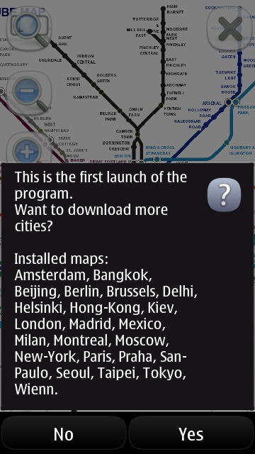
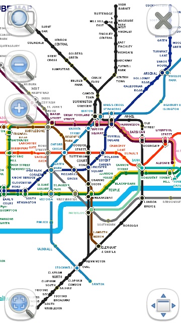
Nice to have the preloaded list shown up-front. No worries on my local though, London (right)...
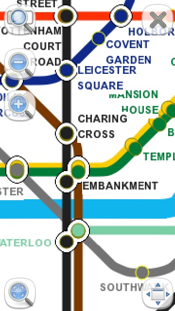
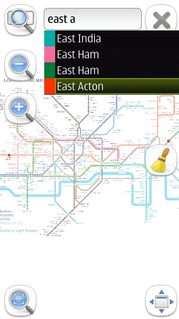
You can use the zoom icons or pinch and splay to zoom in and out - there's a little pixellation, but the graphics remain quite clear. (Right) Starting to plan a route, I've already searched and found 'Paddington', my starting point - here I'm picking a destination, 'East Acton'.
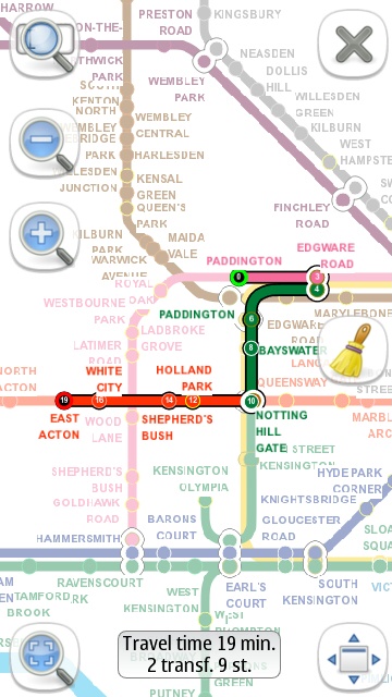
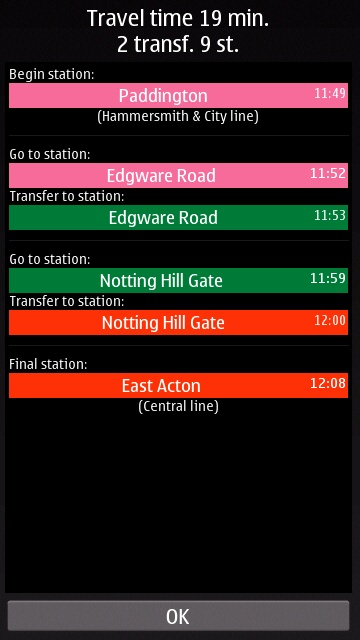
qMetro's suggested route, with the map auto-scaled as needed (I chose a short route so that the station names would still be visible in the screenshots). (Right) Tap the 'Travel time' summary box to see this steo by step breakdown of the journey.
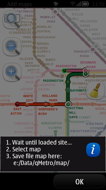
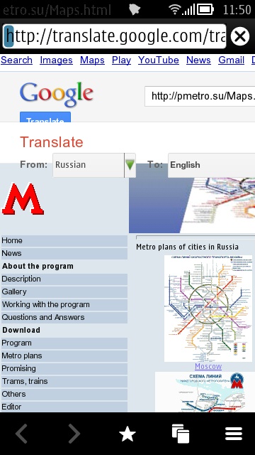
You can use the pop-up menu to look for new metro maps. First (left) this pop-up note - write the path down, etc. (Right) Then you're in Web at http://qmetro.sf.net/maps/ and browsing and downloading. There are over a hundred more metros to download.
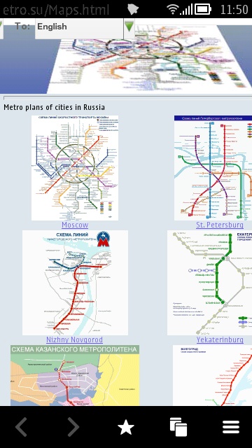
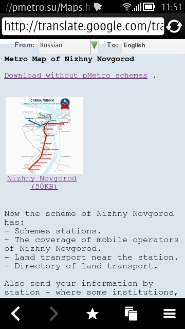
Browsing and grabbing more metro maps. Note that Google Translate seems to be automatically invoked, which is handy, as I don't speak Russian!
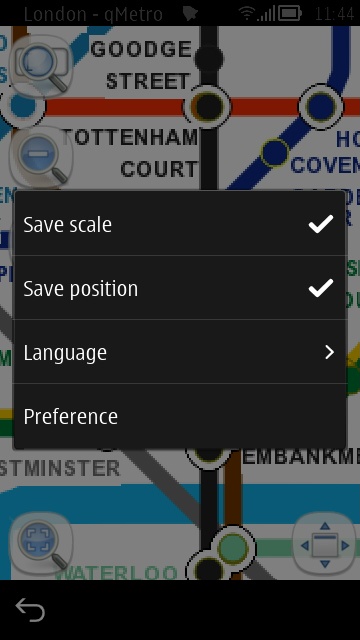
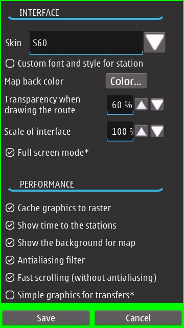
(Left) The main menu options, including the choice of five languages for the application to run in. (Right) Plus this comprehensive Preferences dialog, plenty to fiddle with. The 'Skin' option also has the choice of Android or Windows, though, rather curiously, just about the only aspect of the application which changes significantly as a result is the Preferences dialog itself!
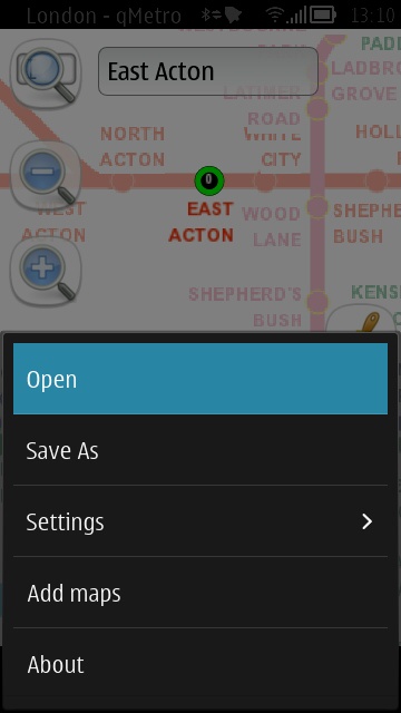
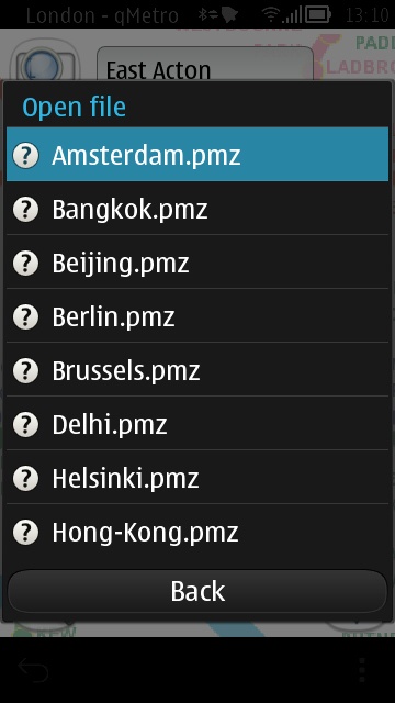
Opening up another metro map file from the main qMetro menu. Each file is only a few kilobytes.
Although the interface is clumsy at times, there's no denying qMetro's reach and it's definitely worth a quid if you spend much time messing around on underground networks. Do also see Nokia's own (and free) Public Transit (née Public Transport) application, which also includes bus information, though I suspect that this supports far less city networks. Anyone able to quantify this?
You can buy qMetro: Subway maps of the world for £1 in the Nokia Store here.
