Here's Copilot in action:
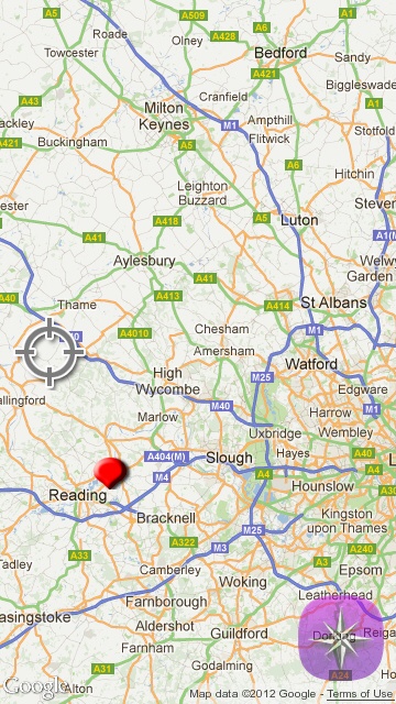
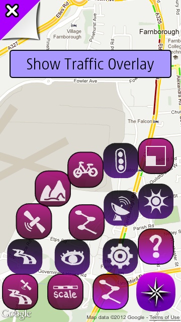
[Left] Opening up Copilot, your current location is shown at street level, here zoomed out using multitouch for privacy reasons(!) The reticule is a control to always recentre the map on your current location, the compass rose is the main pop-up control; [Right] the menu system here is a bizarre set of icon layers, all with no description. In fairness, it's all very right-thumb-friendly and quick once you know which icon does what, but there is a bit of a learning curve. Most of the mapping layers available in other Google Maps clients are available here, including traffic.
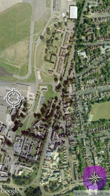
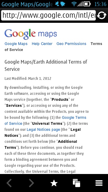
[Left] showing the Satellite layer; [Right] the developer is clearly well aware of what he can and can't do with the Google data, evidenced by a direct web link within Copilot to the appropriate terms and conditions. One restriction seems to be that searching is limited to places and addresses, there's no access to points of interest or other relevant information.
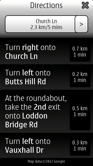
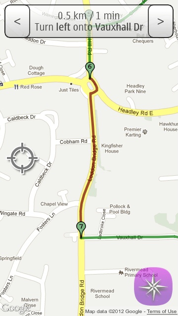
Basic directions do work, if slightly fiddly to set up in the strange menuing system. Swiping up the instructions, you can tap through at any point to the appropriate graphical respresentation of the turn needed.
Ah, happy memories of Google Maps from back in the day. 2004, on the Nokia 6630! The basics of Google Maps, as presented here, haven't changed much since, even though the implementation on modern Android phones is dramatically better.
There's a strong argument that Copilot isn't needed on Symbian in these days of Nokia Maps, with full on offline sat-nav and no restrictions, but mapping freaks like myself will still gobble this up as one more positioning tool in our on-phone arsenal.
Copilot is £1 in the Nokia Store.